
Here's Marco's account of his day in the woods....
CMC – Denver –Wilderness Trekking School (Group 20)
Field Day 2 – 10/3/2010
I had slept through my alarm and my wife woke me up and asked “Marco, do you still plan on going to your compass day?” I fly out of bed and have about 10 minutes to get ready to make it to the Park N’ Ride on time. I skipped breakfast and did a last minute check for all the things I will need for compass day. I ended being quite un-prepared, but I will explain later.
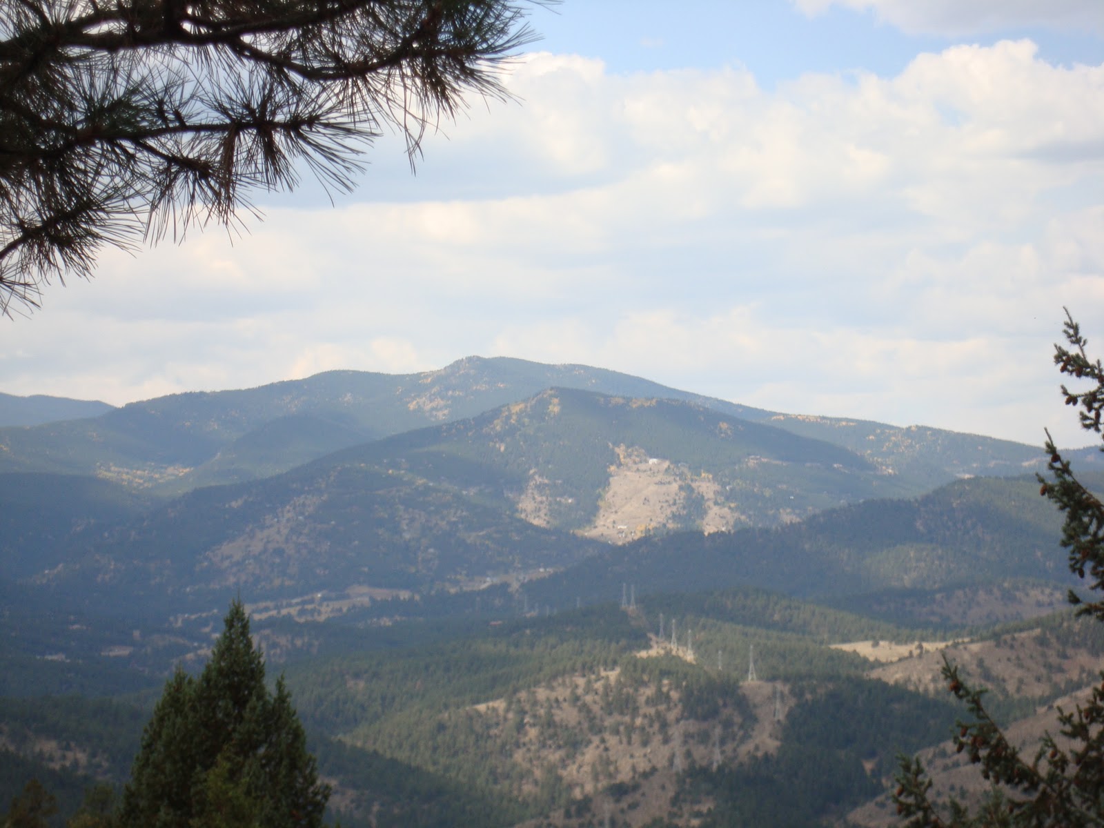
I had climbed Pawnee Peak and Mt. Toll on Saturday. I had a great chance to also get Shoshoni Peak but decided against it so I could be somewhat fresh for the compass day. We ended up hiking much more than I originally thought.
Arrive at the Park N’Ride to smiles from the team members and instructors I am coming to become familiar with more and more. I am not generally a morning person at all, but with so many people smiling at you saying “Good morning”, how can you stay in a grumpy mood!
Our instructor Wayne gets the car pooling figured out and I ride with another instructor Tim, and a team member Mark. I was secretly hoping to be on Mark’s group for this exercise because he is our “ringer”, regarding orienteering and really knows his stuff.
We arrive at Ralston elementary and I realize that everybody on the team has their plastic bag, their index card, a pencil, their compass, their area write-ups, ALL THEIR POINTS PLOTTED. I start feeling a bit anxious. I had my compass, my map, a plastic bag and that was it. I think my rush to get out of my house and be on time is what caused me to forget all these important tools for compass day. Either way, I should have had all my points plotted and I did not, I had planned to attend the Study Hall last Tuesday and get expert help but my day job was not going to let that happen.
 |
| Sunday's large group practicing compass use in the field. |
After the short lecture, I felt better about using the compass and understanding the concepts associated with it. I thought the poor man’s altimeter was so cool (especially when I was shown how to use it correctly). The two lecturers, Joe Griffith and Jack Reed, were very knowledgeable and fun to listen to.

At the end of the lecture we go back to our respective groups. The whole group walks off trail heading towards our first control point close to Bald Mountain. We learn about the “Leapfrogging” technique as we find this control point. We site somebody ahead of us and make sure they stay on the bearing. It is much like “Dead Reckoning” in thick woods or jungle. Except you are using people. Later on we would use objects in the wilderness to site our bearings (dead trees, tree stumps, etc). We make it to the control point. We learn firsthand the importance of making the leapfrog distance shorter between people, we move more efficiently and accurately with a shorter distance between us. Rich takes time to explain the “Box” method to me. If you run into an obstacle and your bearing goes right through it (say a Lake, cliff, ravine), how do you navigate this obstacle? That is where pacing comes in. Go 90 degrees from your current bearing (if heading east +90 to your current bearing), count your paces, clear the obstacle, change back to original bearing, pace back with the obstacle behind you.
 |
| Taking a bearing in the field while practicing the "leapfrogging" technique. |
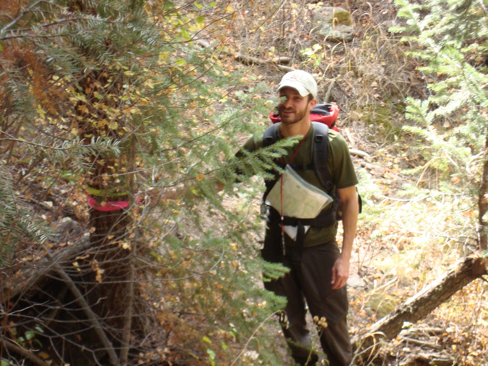 |
| Marco with the first point in Section 1 |
 |
| Having fun with points by the end of the day. |


